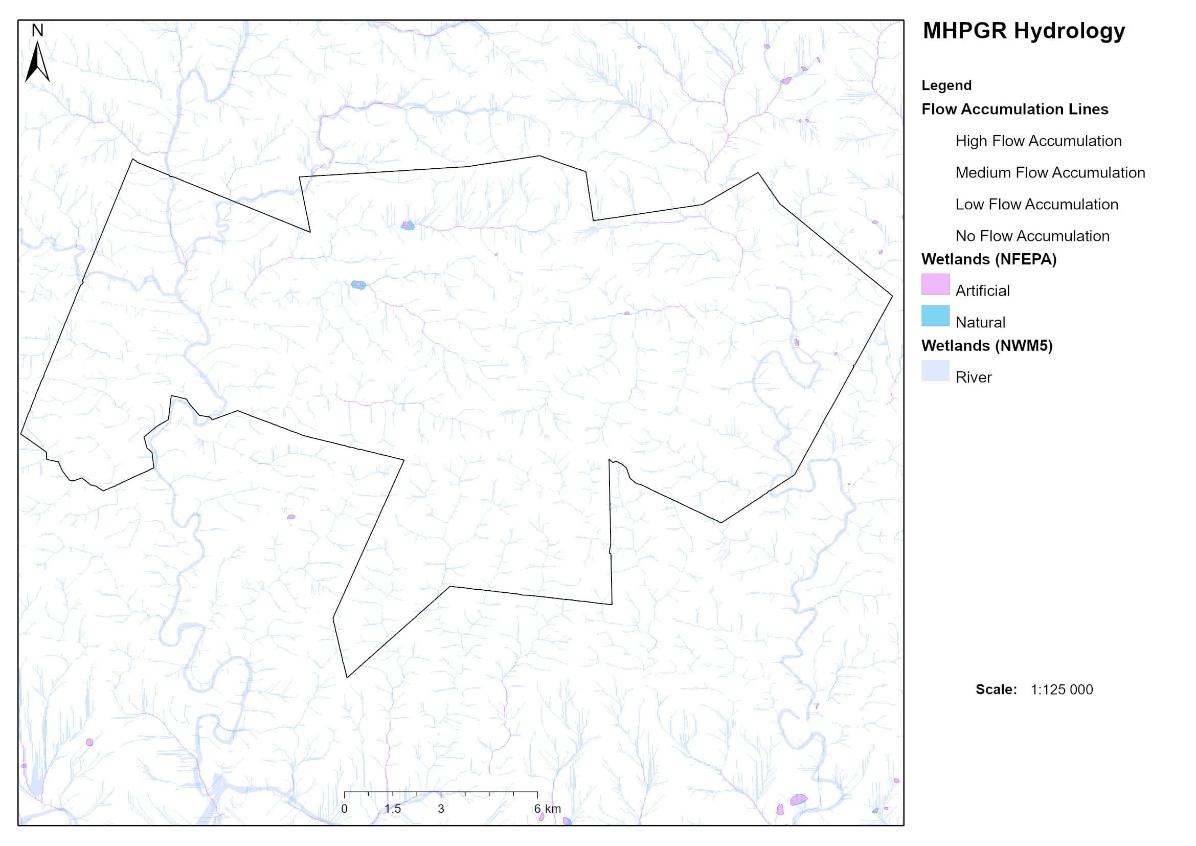
MH is criss-crossed by hundreds of small drainage lines which flow after a few millimeters of rain. The Loots River and Riet River flow for longer than most since they have larger catchment areas. Even in late winter one doesn’t have to dig deeply into the river bed to find water and some of the high rocky streams still flow.
Catchments
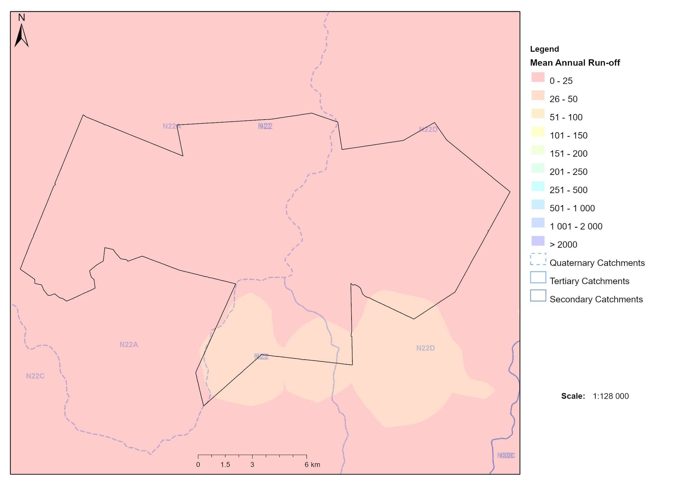
Annual runoff and catchment areas in MHPC
Topography
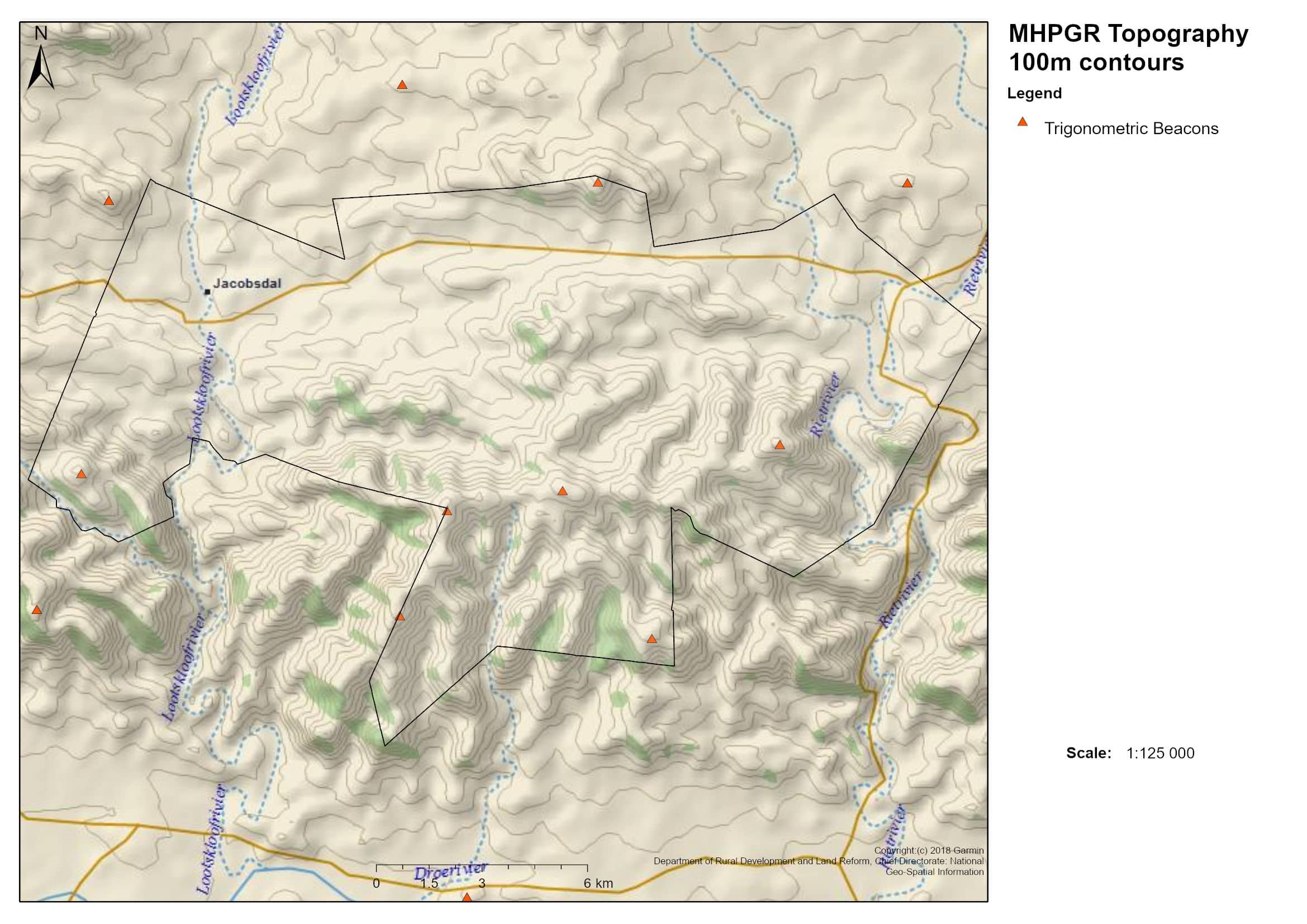
Topography and land layout of MHPC
District roads
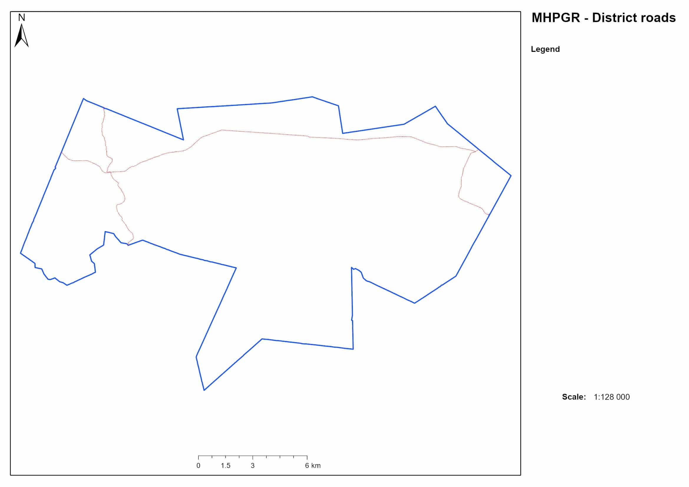
District roads that intersect MHPC
Three district roads run through Magic Hills. Of the three one is still used for general access from Waterford to Pearston while one is damaged beyond regular use and the remainder allows access to medical services and local residents.
Hydrology
Drainage lines and impoundments in the MHPC area
There are 54 different boreholes on Magic Hills Private Game Reserve. While initially sunk with good intention, and no doubt essential for survival, nature reserves often require less surface water than agricultural areas. The majority of the existing waterholes should be closed in order to improve game viewing and ensure winter grazing refuge areas are available.
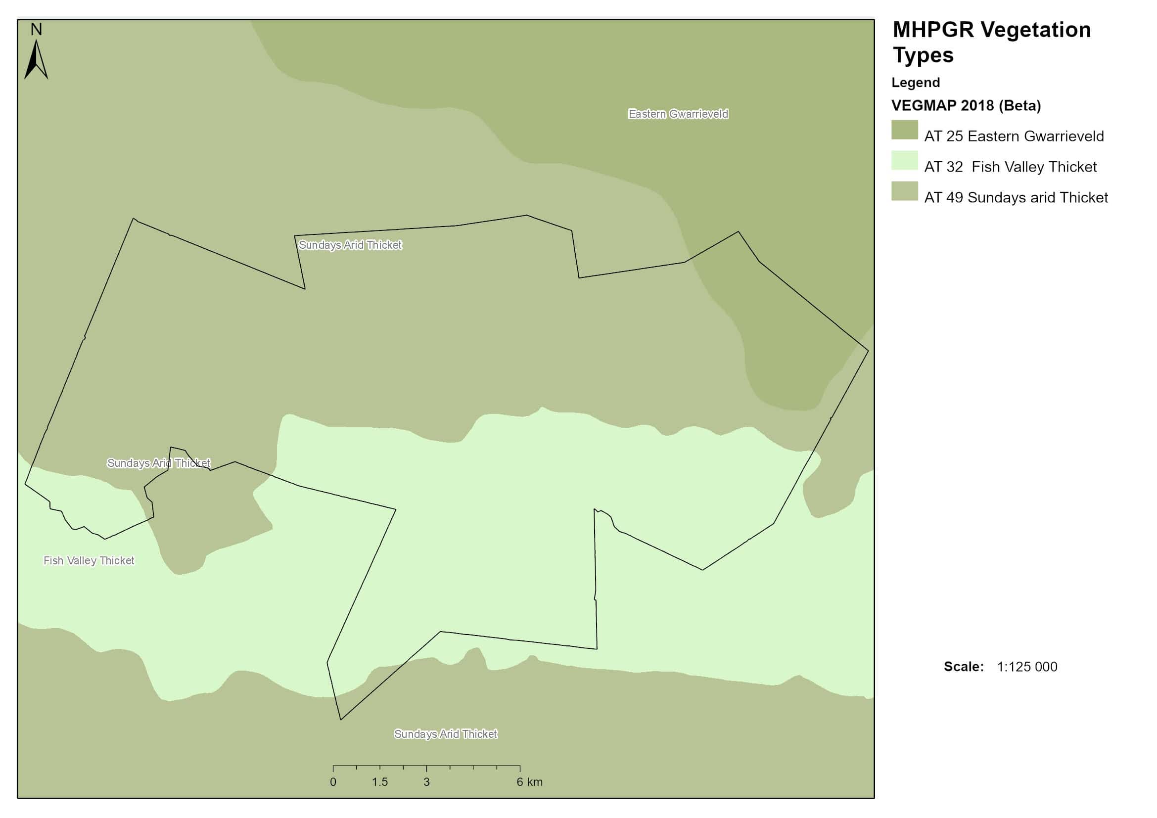
Vegetation Types
Vegetation types represented at MHPC
from the 2018 Department of Environment, Forestry and Fisheries evaluation
Along with the two biomes represented at Magic Hills we also have vegetation representative of three types namely Fish River Thickets, Sundays Arid Thickets which are classified as a Vulnerable vegetation type and Eastern Gwarrie Veld which is classified as under protected.
Soil Map
Soil types mapped at MHPC
Two dominant soil types are represented at Magic Hills. Eutric Leptosols that are composed of very shallow, alkaline soils over hard rock and Lithic Leptosols which are present in bands of less than 10cm in width over hard rock.
Land types that occur on MH are directly linked to the underlying soils. Shallow soils tend to produce more scrubby veld while deeper drained soils are more likely to host larger trees.
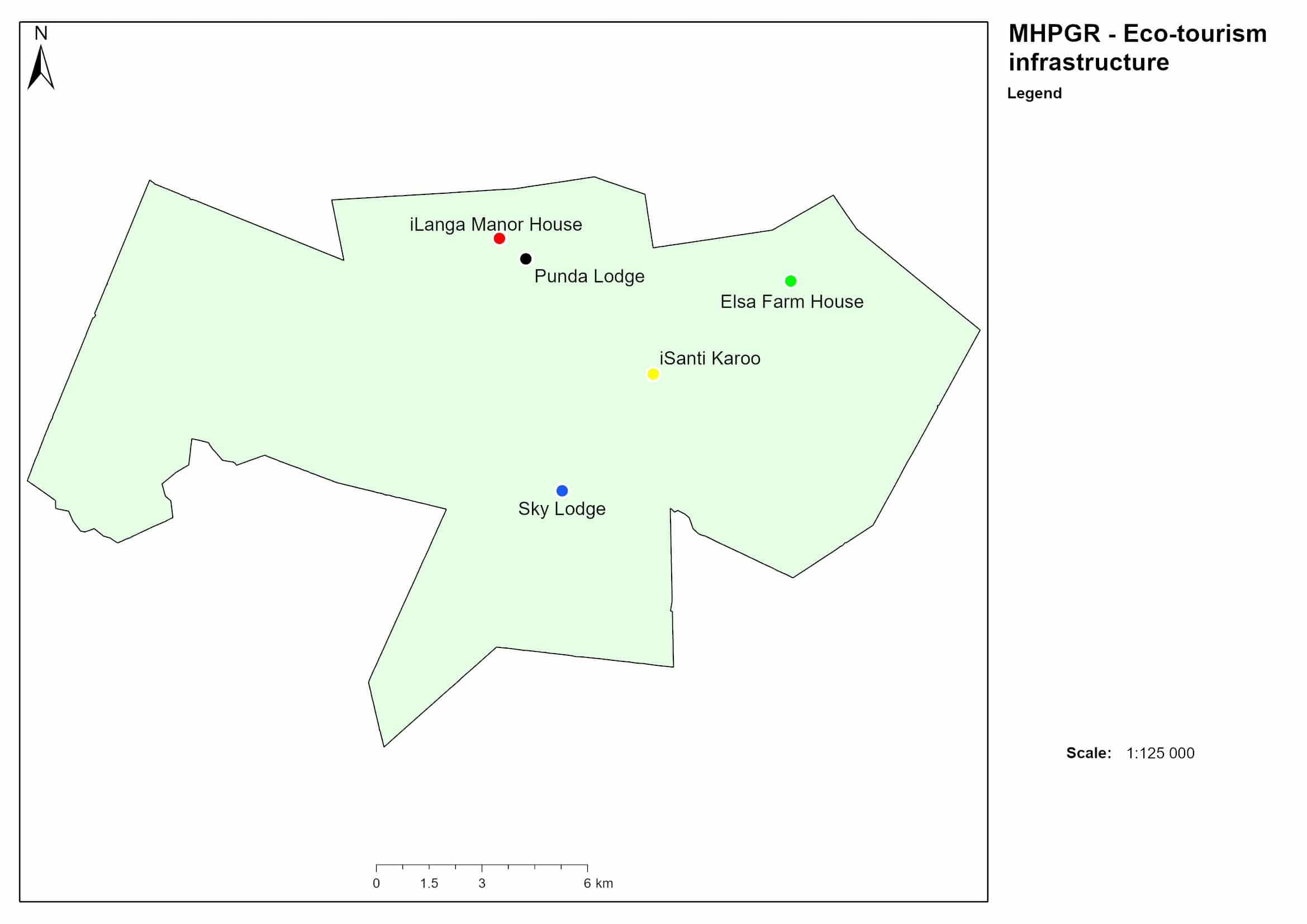
Lodges
Location of lodges at MHPC
The lodges on MH are sited making the best use of the environment. Sky Lodge has the vistas, iLanga Manor House has the views of plains and hills while Elsa wraps you in the rolling hills of the Nama Karoo intrusion.
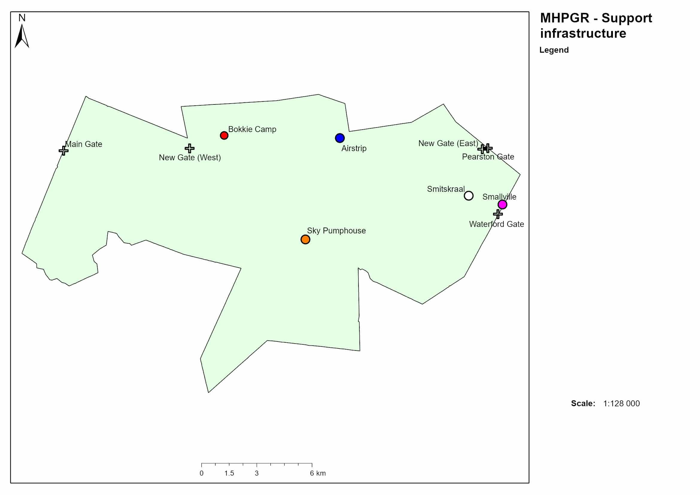
Support Infrastructure
Distribution of support infrastructure (excluding lodges) at MHPC
The support infrastructure of Magic Hills consists of staff accommodation, warehouses, water supply points and access control points.
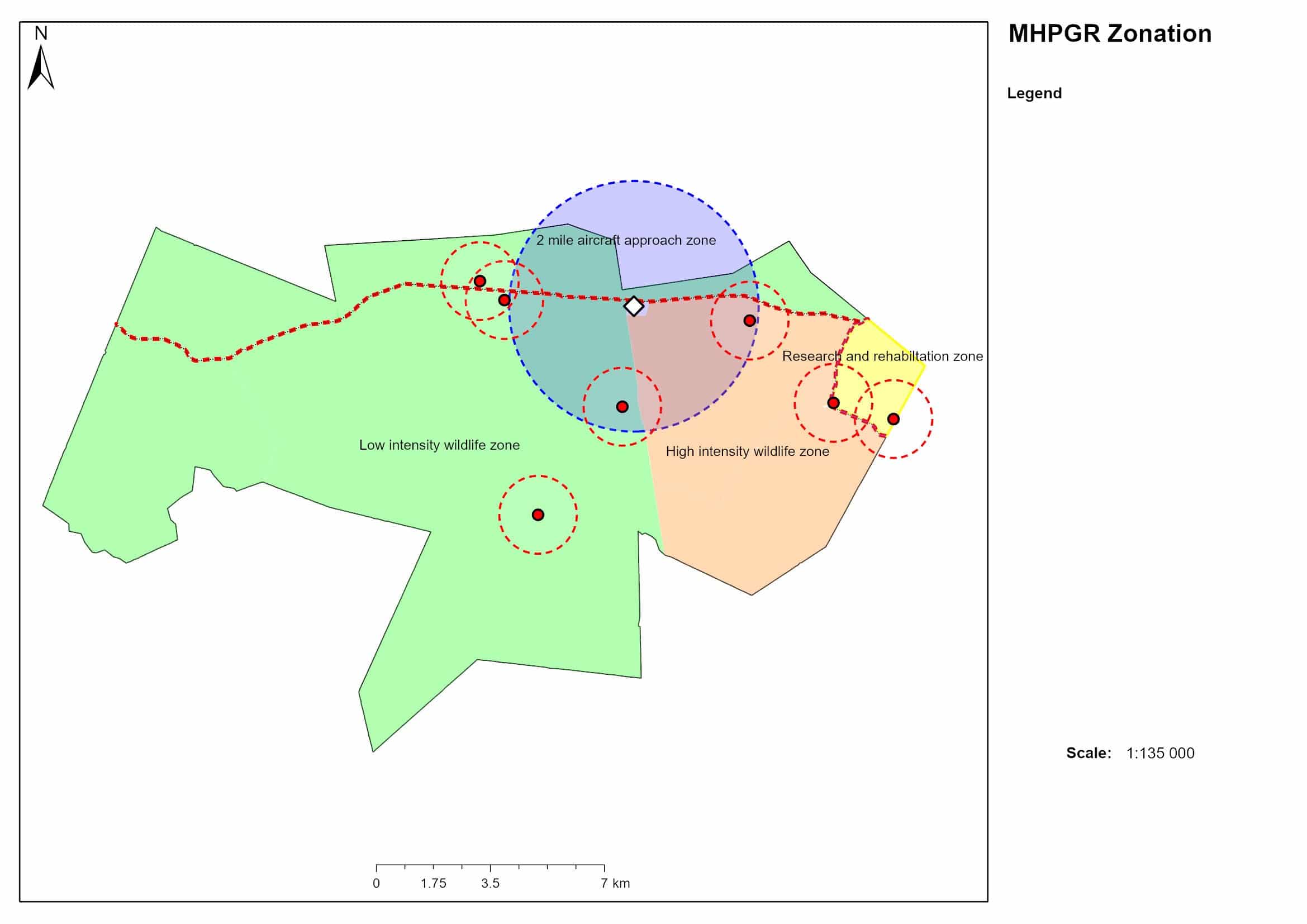
Zonation
Demarcated infrastructure use zones at MHPC
The reserve is zoned into different use areas depending on vegetation sensitivity and infrastructure development. The zones compliment each other and ensure that each user benefits appropriately.
Support infrastructure such as the airstrip is located out of general site of the lodges so as not to interfere with the guest experience
3D map
3D Elevation map of MHPC area (elevation
exaggerated to 300%)
View Our Specials
Passing By?
Stop at Magic Hills for a day exploring the reserve, driving 4×4 trails, and indulging in a panoramic picnic!